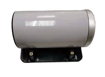
Laser displacement meter
Laser displacement meter
The laser displacement meter integrates sensor, communication, laser, camera and image processing technologies, takes the laser beam as the reference source, takes photos of the spot position after laser propagation between monitoring points, performs real-time digital image processing on the photos, and compares the position changes of the laser imaging spot.
Laser displacement meter can be widely used in rail transit, high-speed rail, foundation pits, bridges, dams, geological hazards in the industry of uneven settlement and relative displacement.
Basic functions
- Using high-precision measurement based on laser leveling and camera image processing, the relative displacement between two measuring points within a range of 50 meters can be measured with an accuracy of sub-millimeter.
- A plurality of laser displacement meters installed at different measurement points can be point-to-multipoint, serial cascade, annular cascade or serial and annular mixed cascade, and one laser generator emits the laser on the optical screen of another receiving device, so that a monitoring chain of multiple monitoring points can be formed.
- Tilt measurement and temperature compensation technology are used to ensure the engineering applicability of the laser displacement meter.
- Based on GNSS positioning technology, GNSS positioning and time synchronization can be used to realize synchronous monitoring in the monitoring area, and the specific position of two-dimensional displacement can be quickly presented on the monitoring system.
- A variety of wireless communication methods and even wired data transmission are used to adapt to the field environment.
Product Features
- Dimensions: Φ 124 x 235 mm
- At the same time, the level and settlement displacement are monitored
- Accuracy 0.3mm
- The distance of use is 100 meters
- It can be used in cascade and is suitable for a variety of application scenarios
- High reliability
- Continuous, real-time monitoring
- Easy and maintenance-free installation
- Low energy consumption
- IP67